How do I Search for a Document?
The index to official records in the Recorder's Office is set up on an alphabetical (grantor/grantee) and numeric system.
Most parties on a document are indexed in either a grantor or grantee category.
Alpha Grantor/Grantee Index
- The GRANTOR on "give and receive" documents such as a DEED, ASSIGNMENT, SUBSTITUTION OF TRUSTEE, RELEASE DOCUMENT, ETC. would be the transferor, seller, assignor, party substituting, releasing, etc.
- The GRANTEE on "give and receive" documents such as a DEED, ASSIGNMENT, SUBSTITUTION OF TRUSTEE, RELEASE DOCUMENT, ETC. would be the transferee, buyer, assignee, party being substituted, party being released, etc.
- The Grantor on “encumbering documents" such as TRUST DEEDS/MORTGAGES, FINANCE STATE- MENTS, LIENS, JUDGMENTS, ETC. would be the parties taking out the loan/putting either real or personal property up as collateral, debtors, defendants, or obligors.
- The GRANTEE on "encumbering documents" such as TRUST DEEDS/MORTGAGES, FINANCE STATE- MENTS, LIENS, JUDGMENTS, ETC. would be the beneficiary/party loaning money, secured party, plain- tiff, creditor, party the debt is owed to, etc.
- The index to the documents is researched in the year the document was recorded. For example, you cannot check the 1993 index for documents recorded back in 1989.
- The easiest and quickest way to look up a document is by name which will be 95% of the time.
The Index from 1978 - present
- Both the index and documents from 1978 to present can be searched by name or document number and date of recording on the computer for this time period. The index will appear in the left portion of the screen. An image of the document will appear in the right portion of the screen.
- The public can access the index and image screens; however copies cannot be requested from the public terminals. Copies can be requested from inside office terminals only.
The Grantor/Grantee Index from 1920 - 1988
- The alpha index for documents 1920 to 1988 are located on the computer marked “1920 to 1988 Grantor Grantee Index”.
MICROFILM COPIES OF THE OFFICIAL RECORDS
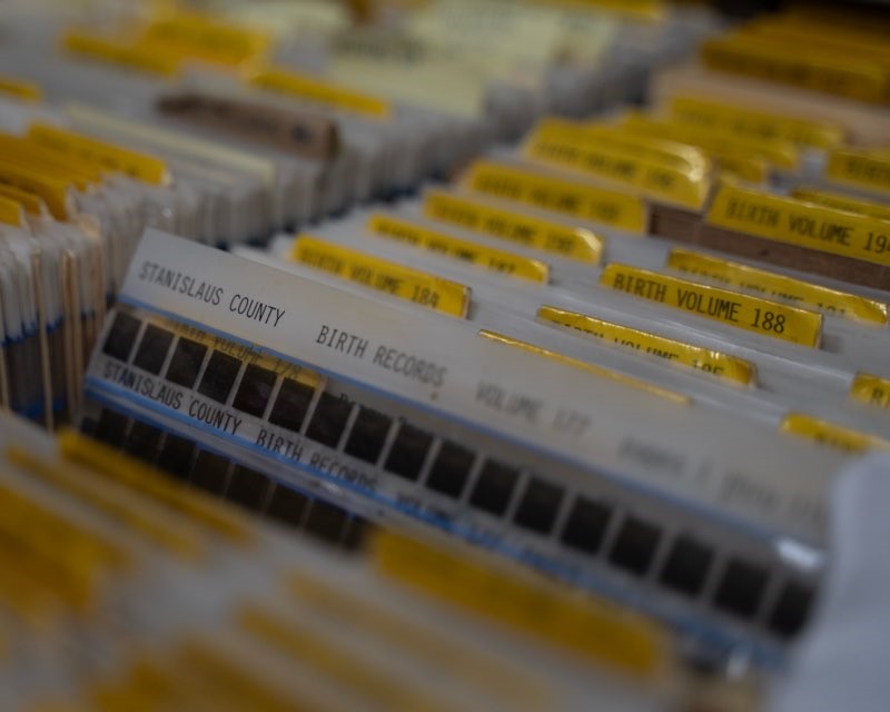
- The film copies of the official records are located in the middle files between the screens and the counter.
- In order to locate a copy of the document, you will need a "locator number", which will be a Volume/Book & Page for records prior to 1978.
- The tall files are all microfilm roll cassettes of the documents from 1984 to present. The lower cabinets are a combination of film jackets, fiche and roll film of all document records from 1984 back to 1853. We have electronic records back to 1978 and continue to expand this resource. Check with the one of the staff for the current time frame that is in an image format.
The Numeric Index
- The numeric index formerly known as the "fee book" begins in approximately 1894 Instrument numbers were not used beyond this point. The numeric index is also on microfilm and is located in the lower right hand portion of the shorter cabinets. There are currently some of the old original fee books still in the office. Many are missing.
- Current numeric indices from 1920 to 1988 are easily accessed on the computer marked “1920 to 1988 Grantor Grantee Index”.
The Map Indices
- Beginning October 1, 1999, all map indices were merged into the general index. All maps continue to retain a designated map "book and page". Prior to the above date the map indices which include Parcel, Subdivision, Survey and Assessment Maps were kept in their respective index book.
- Parcel Maps are indexed under the name of the property owner at the time the property was split and the section, township and range.
- Subdivision Maps are indexed under the name of the subdivision.
- Survey Maps are indexed under the section, township and range.
- Assessment Maps are indexed under the name of the public agency or district and whatever is being done.
- Map abbreviations:
- PM = Parcel Map
- M = Subdivision Map
- S = Survey Map
- A = Assessment Map
- There are VARIOUS OTHER TYPES OF MAPS:
- Cemetery Maps. Indexed under name of cemetery. Pre-Oct/99 cemetery maps are located in the Subdivision Map Index under the "C" for Cemetery.
- Designated Floodway Maps. Indexed under name of area and description of property. There has never been an index to these maps since there are so few. Will be indexed in Subdivisions.
- Lot Line Adjustment Maps. The way it is indexed depends on whether or not it is a lot line adjustment on a parcel map or subdivision map. See "Parcel Map" or "Subdivision Map".
- Plan Line Maps. Indexed by road name in the Index To Plan Lines.
- Reversion To Acreage Maps. Indexed the same as a Parcel or Subdivision Map, depending which map reference is shown.
- Right of Way Maps. Indexed under name of party filing which will be the State of California or Pacific Gas and Electric and the name of the subdivision.
- Tentative Maps. DO NOT FILE.


