County Surveyor's Office
The County Surveyor's Office is charged with:
- Review and certify subdivision final maps, parcel maps, corner records, and records of survey.
- Process applications for certificates of compliance and road right-of-way abandonment.
- Maintain, file, and index survey maps, corner records, right-of-way deeds, abandonments, certificates of compliance, and other survey documents.
- Review legal descriptions relative to special districts, city annexations, and other entities.
- Determine the nature of parcels in conformance with the Subdivision Map Act.
- Assist private engineers, land surveyors, County departments and the general public with information related to:
- Federal, State, and local laws and regulations governing land surveying principles and practices.
- State Land Surveyor's Act, Subdivision Map Act, and County codes.
- County General Plan, and other related laws and practices concerning surveying and boundary determinations.
The County Surveyor's Index is on the County GIS site.

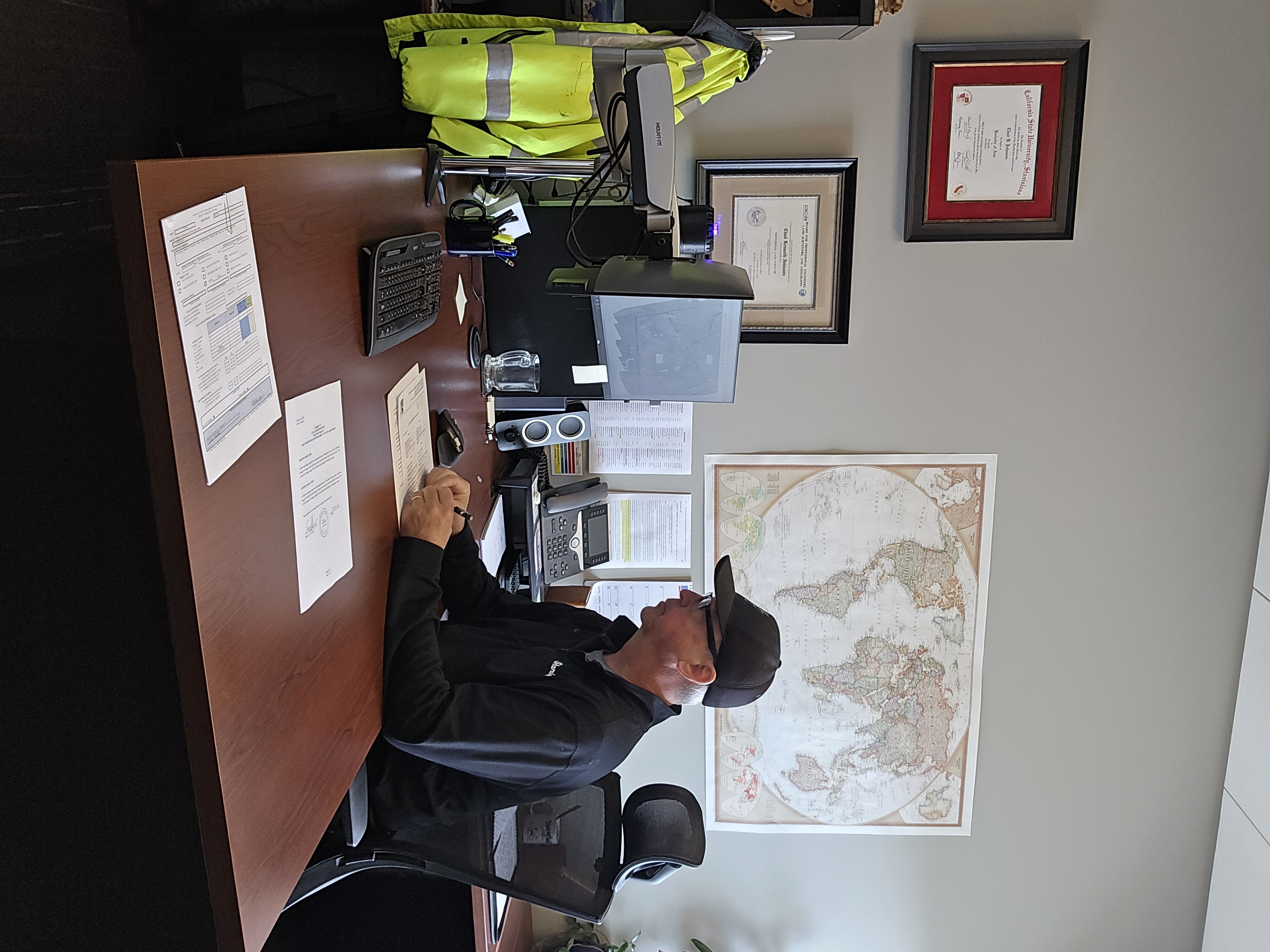
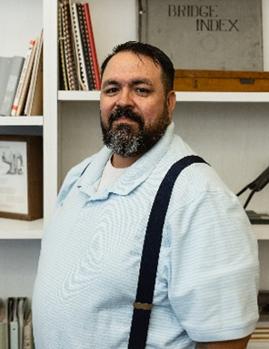
Chad Johnson, Stanislaus County Surveyor
Chad began his career in land surveying in 2001, working for an engineering firm in Modesto, CA, and started with the Stanislaus County Department of Public Works in 2011. That same year, Chad obtained his license as a Professional Land Surveyor.
In 2018 Chad completed his bachelor’s degree in Geography from CSU Stanislaus. In June of 2022, Chad took the oath of office and was sworn in as the County Surveyor.
Chad takes pride in his community and is sincerely dedicated to his role as a public servant.
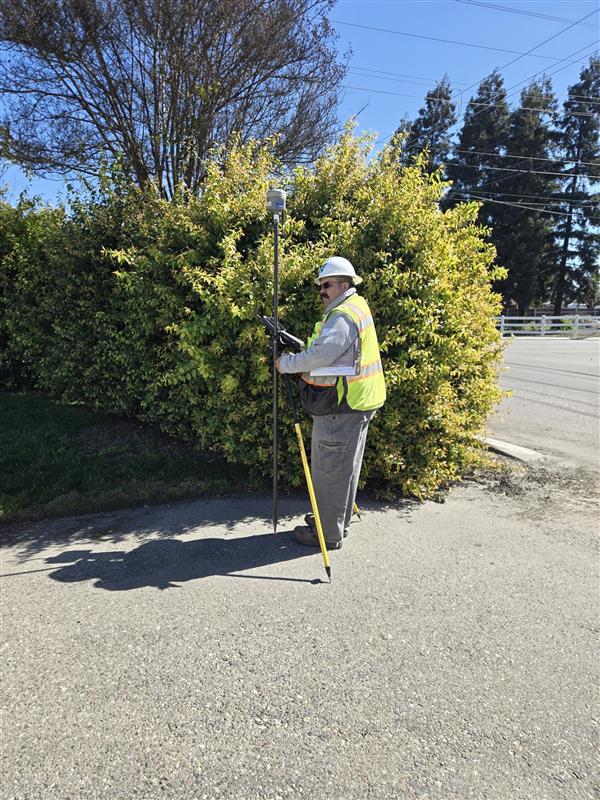
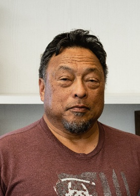
Michael Rodriguez, Assistant County Surveyor
Michael has been a surveyor for 20 years. His experience is diverse; he has practiced the profession in California, Texas, Florida, Minnesota, and multiple states in between.
Michael is Stanislaus County’s Chief of Field Surveys. In the field his work includes the use of electronic total stations, Global Positioning Systems (GPS), and ground-based Lidar scanning to perform topographic, boundary and static surveys.
In the office, his responsibilities range from reviewing submitted maps and doing document research to drawing County Surveys and writing legal descriptions.
Michael is currently a certified Land Surveyor-in-Training and studying to become a licensed Professional Land Surveyor. In August of 2024, Michael was promoted to the position of Assistant County Surveyor.
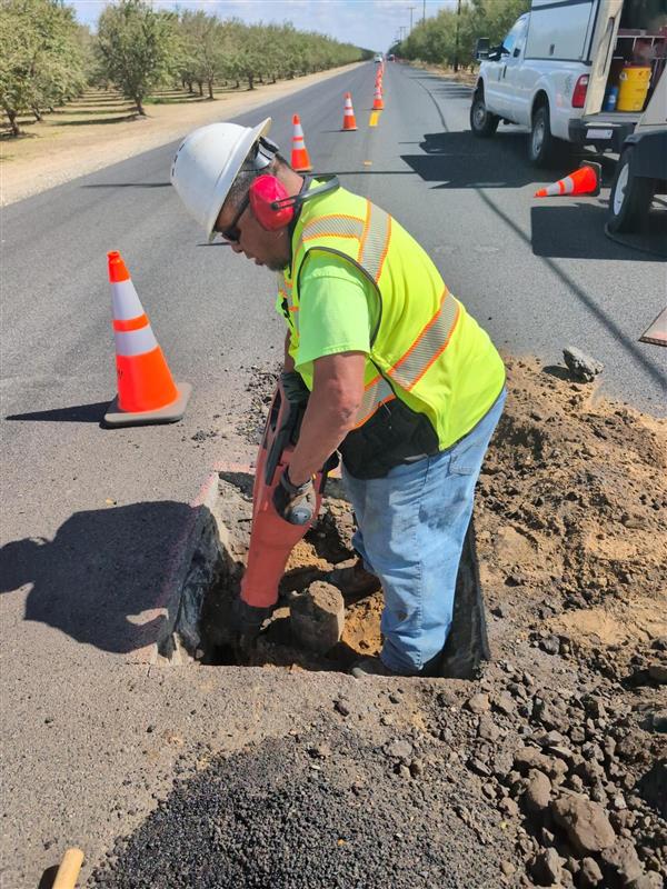
David Hohu, Survey Tech
Dave began his surveying career with the San Jose Water Company before coming to Stanislaus County in 2017.
Dave is a very flexible member of the Survey division. His duties in the office include drafting in AutoCAD, managing the intake of submitted documents, and reviewing maps before they get recorded.
Dave is also on a long-term project utilizing our Geographic Information System (GIS) to compile and index all the County Road deeds.
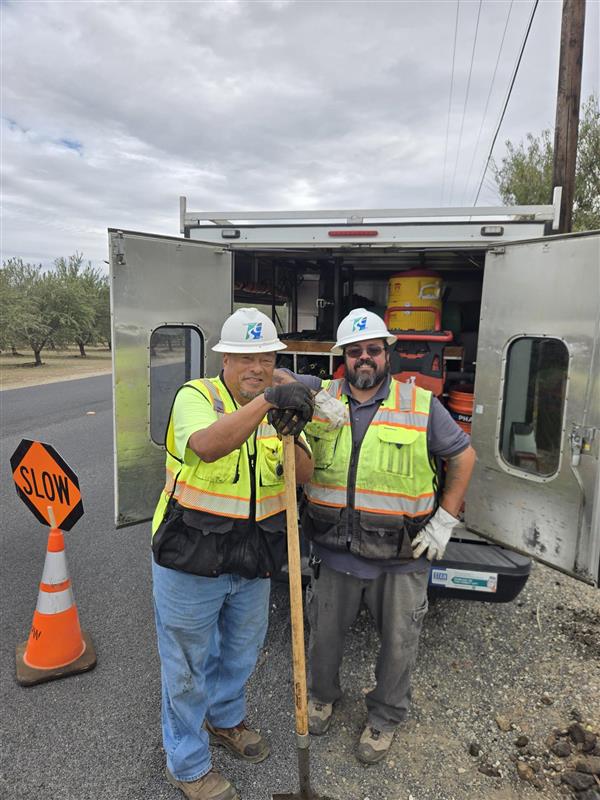
In the field Dave is our Party Chief’s right-hand man. In a single day, you’ll see Dave setting up a safe work zone, directing traffic, and digging deep into the ground to find a buried monument.
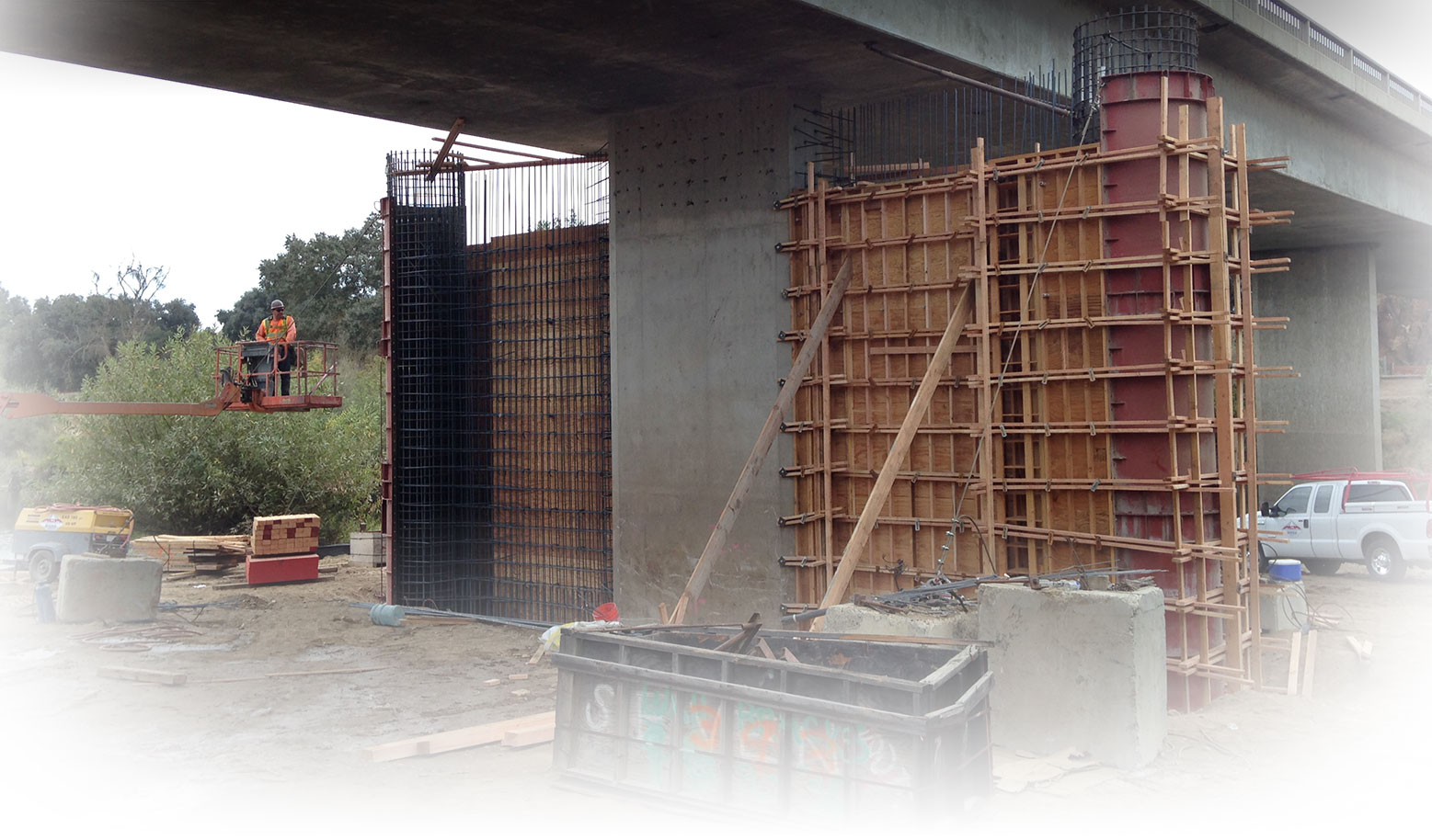
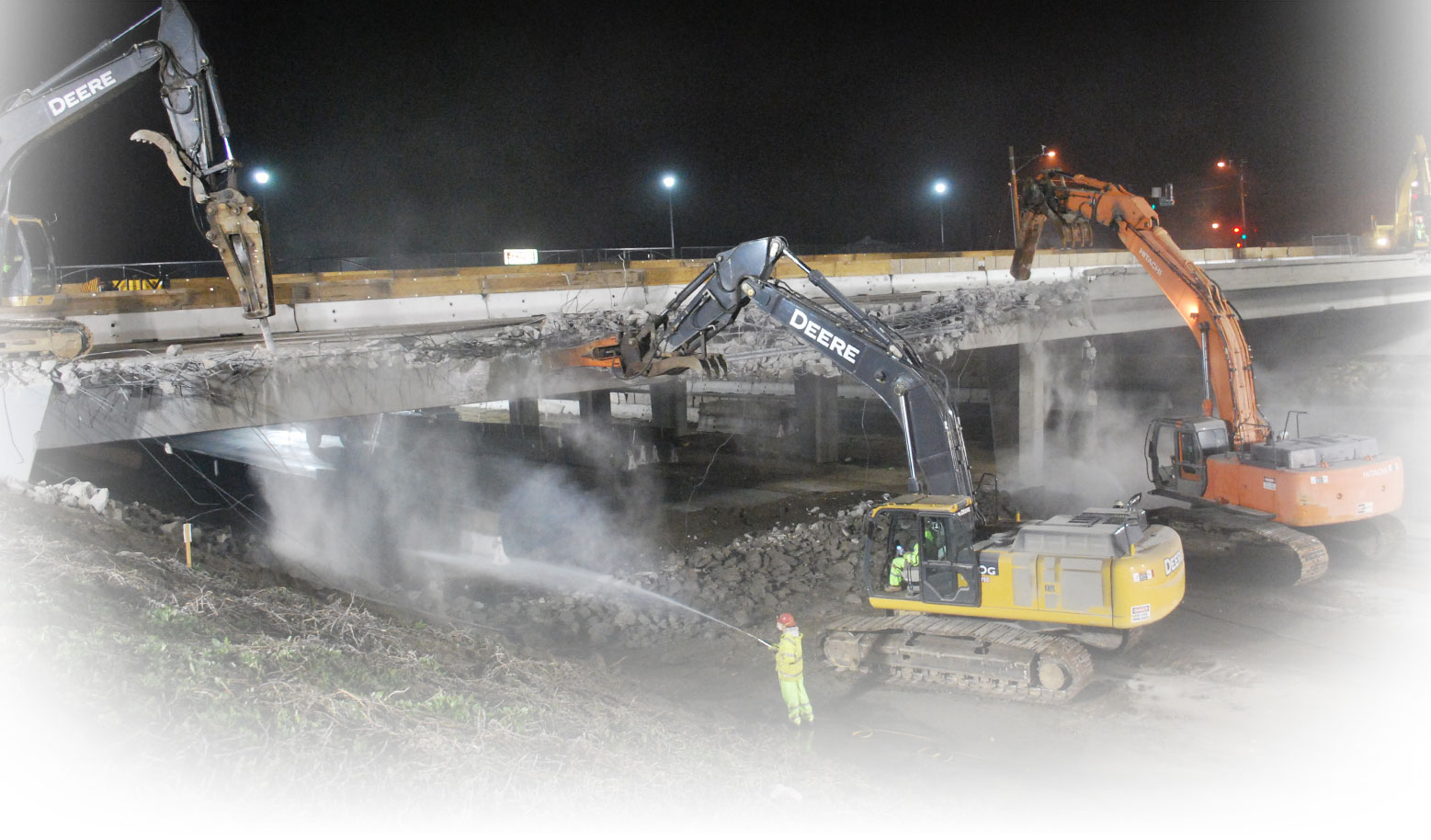
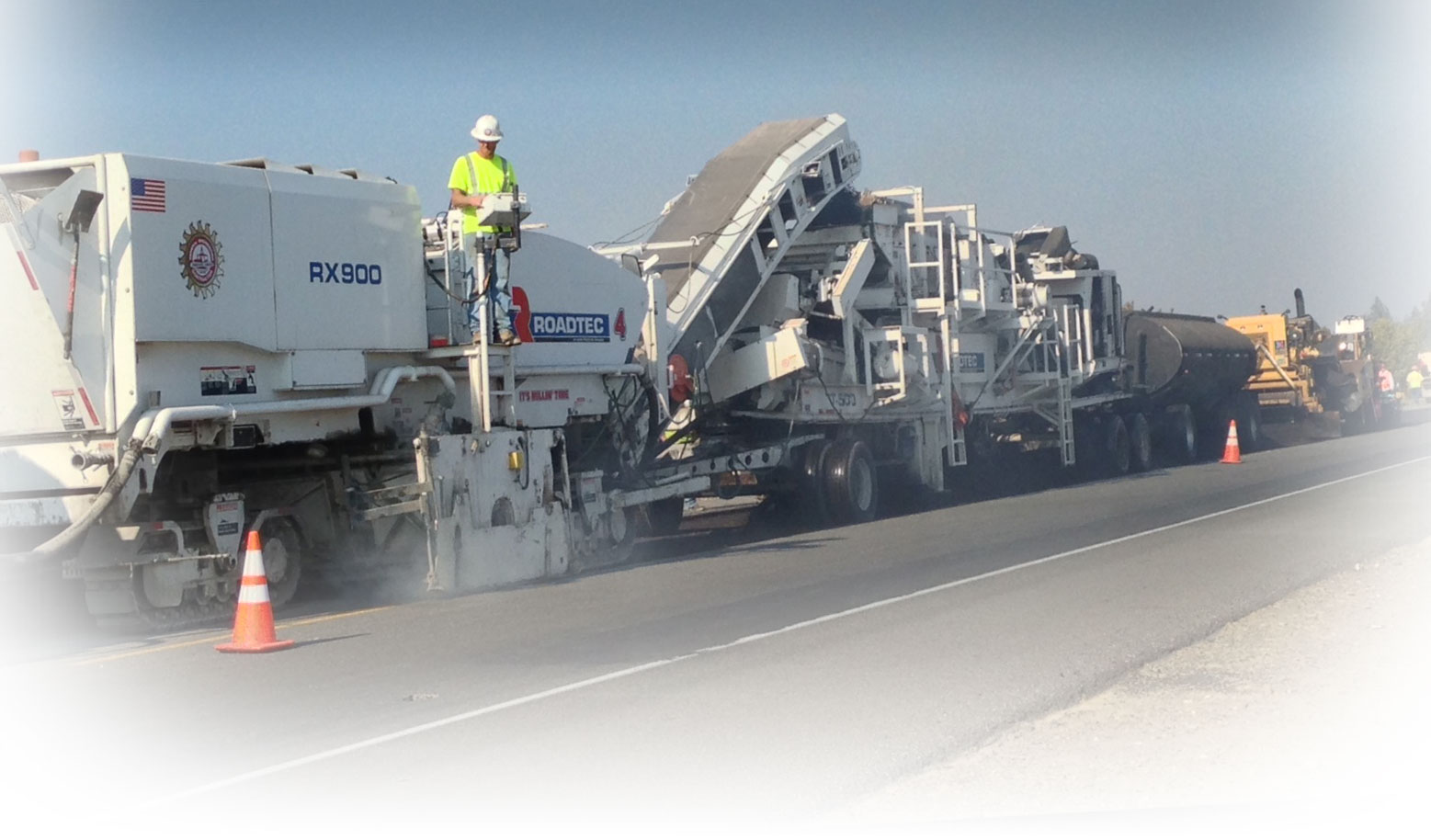
Media