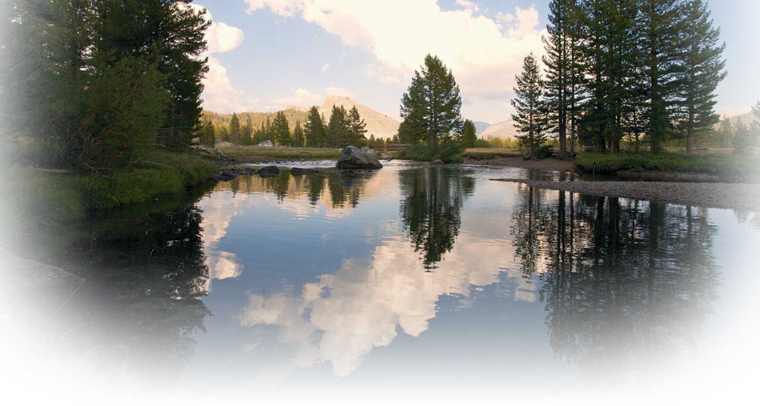
About the San Joaquin River and our regional Watershed

The San Joaquin River is about 300 miles long. It begins in the Sierra Nevada mountain range on California’s eastern border. The river runs down the western slope of the Sierra and flows roughly northwest through the Central Valley, to where it meets the Sacramento River at the Sacramento-San Joaquin Delta, a 1,000-square-mile maze of channels and islands that drains more than 40 percent of the State’s lands.
Because the Central Valley receives relatively little rainfall (12 to 17 inches a year, falling mostly October through March), snowmelt runoff from the mountains is the main source of fresh water in the San Joaquin River. Over its 300-mile length, the San Joaquin River is fed by many other streams and rivers, most notably the Stanislaus, Tuolumne and Merced rivers.
Water supply for the area
Most of the surface water in the upper San Joaquin River is stored and diverted at Millerton Lakes’ Friant Dam, near Fresno. From Friant Dam, water is pumped north through the Madera Canal and south through the Friant-Kern canal to irrigation districts and other water retailers, which then deliver the water directly to the end users in the southern portion of the watershed.
In the central and northern portions of the watershed, many agricultural and municipal users receive water from irrigation districts, such as the Modesto, Merced, Oakdale, South San Joaquin and Turlock Irrigation Districts. That water is provided through diversions from rivers that are tributary to the San Joaquin, such as the Mokelumne, Stanislaus, Tuolumne and Merced rivers.
An acre-foot of water is about 326,000 gallons, or enough water to supply two typical families for a year.
In an average year, about 1.5 million acre-feet of water is diverted from the San Joaquin River at Friant Dam, leaving little flow in the river until the Merced River joins the San Joaquin northwest of the City of Merced. Additional water also reaches the river via flows returning to the river from municipal wastewater treatment plants, as well as urban and agricultural runoff.
The rest of the area’s water supply needs are met by importing water from northern California (via the Central Valley Project) and by pumping water from the groundwater basin.
Read more in the California Water Plan Update 2005
