FEMA Updates Flood Maps in Stanislaus County
In 2020, The Federal Emergency Management Agency (FEMA) updated Stanislaus County’s flood maps. The flood maps identify current flood hazards, assess flood risks, and provide data to guide local stakeholders in taking effective mitigation actions, resulting in safer and more resilient communities.
Flood hazards are dynamic and change frequently for many reasons including weather patterns, erosion, and community development. FEMA, Stanislaus County and the cities of Ceres, Modesto, Newman, and Patterson worked together to collect new or updated flood hazard data and modernize the flood maps to reflect these changes, which may also affect building or insurance requirements.
The local mapping project is part of a nationwide effort led by FEMA to increase local knowledge of flood risks and support actions to address and reduce the effects of flooding on new and improved structures. FEMA encourages residents to review the preliminary flood maps to learn about local flood risks, potential future flood insurance requirements, and identify any concerns or questions about the information provided.
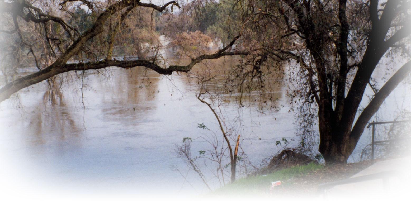
Risk of flooding affects almost every corner of the nation. In total, 98% of counties have experienced a flood event, which makes floods the most common and widespread of all weather-related natural disasters.
You can generate a Flood Insurance Rate Map for your property at:
For further details contact Stanislaus County at (209)525-4130 or (209)525-6557
- San Joaquin River 100yr Flood Zone
- Proposed 100yr & 500yr Flood Zone: San Joaquin River
- Proposed 100yr Flood Zone Tuolumne River & Dry Creek
- Proposed 500yr Flood Zone Tuolumne River & Dry Creek
- Flood Hazard Study and Mapping Project
Floodplain Management
The management of the National Flood Information Program (NFIP) in a community consists of a partnership between the Federal government and the local community. The roles and responsibilities of the community are as follows:
- Provide restrictions and regulations that govern the use of floodplains, to include development in the floodplain, issuing of development permits, and reviewing of subdivision proposals to ensure the project is safe from flooding and provides for adequate drainage;
- Provide information on how property owners can protect themselves from flood damage;
- Provide information on the NFIP; and
- Provide mapping and insurance information services.
Elevation Certificates
An Elevation Certificate is a form created by the Federal Emergency Management Agency (FEMA), under the National Flood Insurance Program (NFIP), as a compliance and insurance tool within federally mapped floodplains.
This certificate verifies that structures are safely elevated above the expected 100-year flood level and they meet other floodplain requirements. Insurance companies utilize the certificates to determine flood insurance premiums for homeowners within flood hazard zones.
To request an elevation certificate or to get information on how to obtain one, please contact your local licensed land surveyor, licensed professional engineer, or certified architect who is authorized by law to certify elevation information or the floodplain administrator.
Constructing in the Floodplain
Constructing improvements in the floodplain has the potential to impact flood levels. If not properly designed, a structure may be susceptible to flood damage or may cause flood damage to adjacent properties. Improvements or repairs to existing structures in the floodplain, such as remodels or garage conversions, would require review by county officials to determine if such improvements would constitute a "substantial improvement" as defined by Federal Regulations (Substantial Improvement is activated if the cost of the new improvements or repairs exceeds 50% of the value of the original structure). Therefore, a permit is required before construction or development begins within any Special Flood Hazard Area (SFHA).
Flood Development Permits are usually obtained when a building permit application is submitted.
Flood Insurance
Since standard homeowners insurance does not cover flooding, it is important to have protection from the floods associated with heavy rains and other flood conditions that may impact our county. In 1968, Congress created the National Flood Insurance Program (NFIP) to help provide a means for property owners to financially protect themselves. The NFIP offers flood insurance to homeowners, renters, and business owners if their community participates in the NFIP. Participating communities agree to adopt and enforce ordinances that meet or exceed FEMA requirements to reduce the risk of flooding.
On March 21, 2014, President Obama signed the Homeowner Flood Insurance Affordability Act of 2014 into law. This law repeals and modifies certain provisions of the Biggert-Waters Flood Insurance Reform Act, which was enacted in 2012. FEMA will continue to identify and publish special flood hazards and flood risk zones as authorized and required by Congress.
A number of factors are considered when determining your flood insurance premium. These factors include: the amount and type of coverage being purchased, location and flood zone, and the design and age of your structure. For homes in high-risk areas (e.g., Special Flood Hazard Areas or AE, VE Zones) built after the first Flood Insurance Rate Maps were drawn for that community, the elevation of the building in relation to the base flood elevation is also required.
To obtain flood insurance, please visit your local insurance agent. More information can be found on the National Flood Insurance Program website.
Flood Maps
A Flood Insurance Rate Map (FIRM), Flood Boundary and Floodway Map (FBFM), and Flood Hazard Boundary Map (FHBM) are all flood maps that have been produced by FEMA. The FIRM is the most common map and is the one used by most communities. At a minimum, flood maps show flood risk zones and their boundaries, and may also show floodways and Base Flood Elevations (BFEs). All these maps can be accessed through the FEMA website.
More recent flood map products include digital FIRMs, which are created using digital methods and can be incorporated into a community's Geographic Information System (GIS). FEMA has also produced Q3 Flood Data, which includes certain features of the FIRM, and may be used for insurance purposes and planning activities.
If you believe your property was incorrectly included in a National Flood Insurance Program (NFIP) identified Special Flood Hazard Area (SFHA), you may submit an application to FEMA for a formal determination of the property's location and/or elevation relative to the SFHA. The SFHA is the area that has a 1-percent or greater chance of flooding in any given year; this area is also referred to by some as the 1-percent-annual-chance floodplain, base floodplain or the 100-year floodplain. After FEMA reviews the map change request, it will issue a Determination Document, either approving or denying the map change. If FEMA grants the map amendment or revision request, the property owner may no longer be required to pay flood insurance. The property owner may send the Determination Document to their lender and request that the federal flood insurance requirement for the structure be removed.
Flood Zone Information
Flood hazard areas identified on the Flood Insurance Rate Map are identified as a Special Flood Hazard Area (SFHA). SFHA are defined as the area that will be inundated by the flood event having a 1-percent chance of being equaled or exceeded in any given year. The 1-percent annual chance flood is also referred to as the base flood or 100-year flood. SFHAs are labeled as Zone A, Zone AO, Zone AH, Zones A1-A30, Zone AE, Zone A99, Zone AR, Zone AR/AE, Zone AR/AO, Zone AR/A1-A30, Zone AR/A, Zone V, Zone VE, and Zones V1-V30. Moderate flood hazard areas, labeled Zone B or Zone X (shaded) are also shown on the FIRM, and are the areas between the limits of the base flood and the 0.2-percent-annual-chance (or 500-year) flood. The areas of minimal flood hazard, which are the areas outside the SFHA and higher than the elevation of the 0.2-percent-annual-chance flood, are labeled Zone C or Zone X (unshaded). Flood zone determinations are typically done when a building permit application is received but can be done any time one is requested. For a flood zone determination, you can access the FEMA Flood Map Service Center or contact the Planning and Community Development Department Building Division
