

County Parks & Facilities
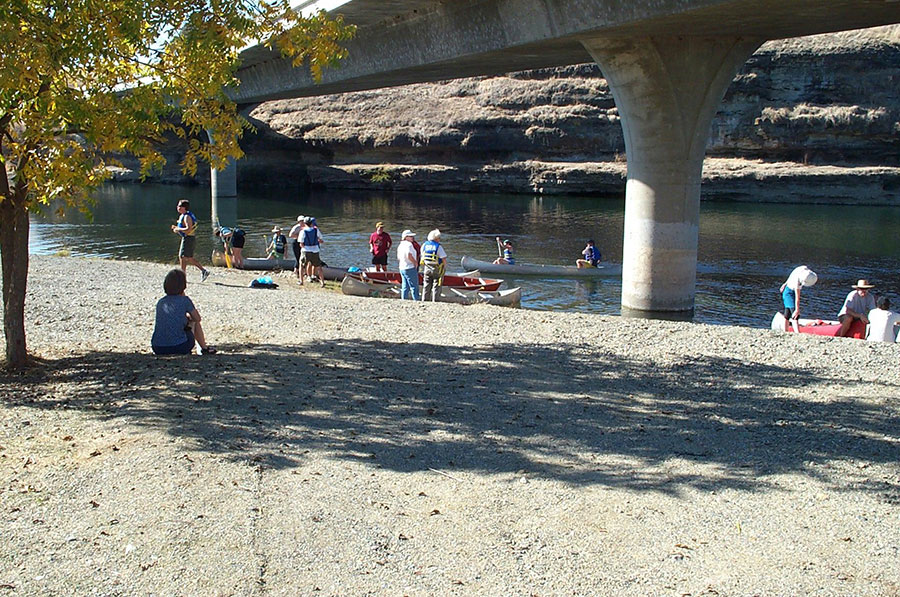
Basso Bridge
Located off Route 132 west of the town of La Grange, on the upper reach of the Tuolumne River. A part of the La Grange Regional Park, the river access is approximately two acres in size and includes a parking lot, restrooms, informal boat launch, gravel beach area for swimming, trails & pathways, picnic tables and ADA access. Fishing is allowed January 1st through October 31st. Only artificial lures with barbless hooks may be used. Check fishing regulations for bag and possession limits. The rest of the year the river is closed to all fishing, due to the salmon run. The restroom is currently closed – no handicapped access is available.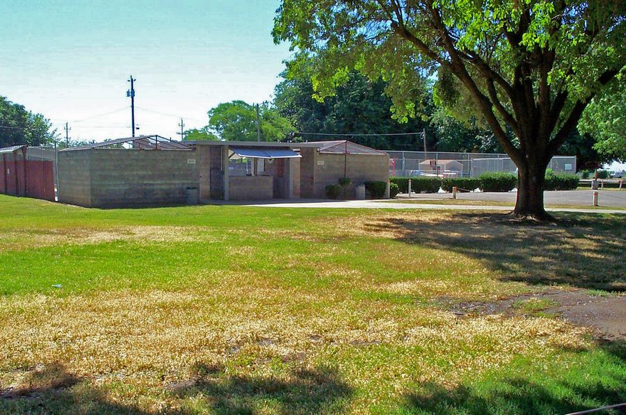
Bonita Park and Pool
Located on Fourth and I Street in Crowslanding in the southwest portion of the County. The park is approximately one acre in size. It includes a parking lot, picnic tables and an informal play area. The swimming pool is currently closed and not available for public use at this time.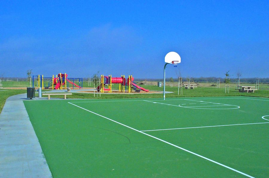
Bonita Ranch Park
Located on Lucinda Avenue and 10th Street on the eastern side of the community of Keyes. The park is approximately Seven acres in size and includes picnic tables, basketball court, soccer field, age appropriate play area, drinking fountains, paved pathways and lighting. There are no restrooms at this facility.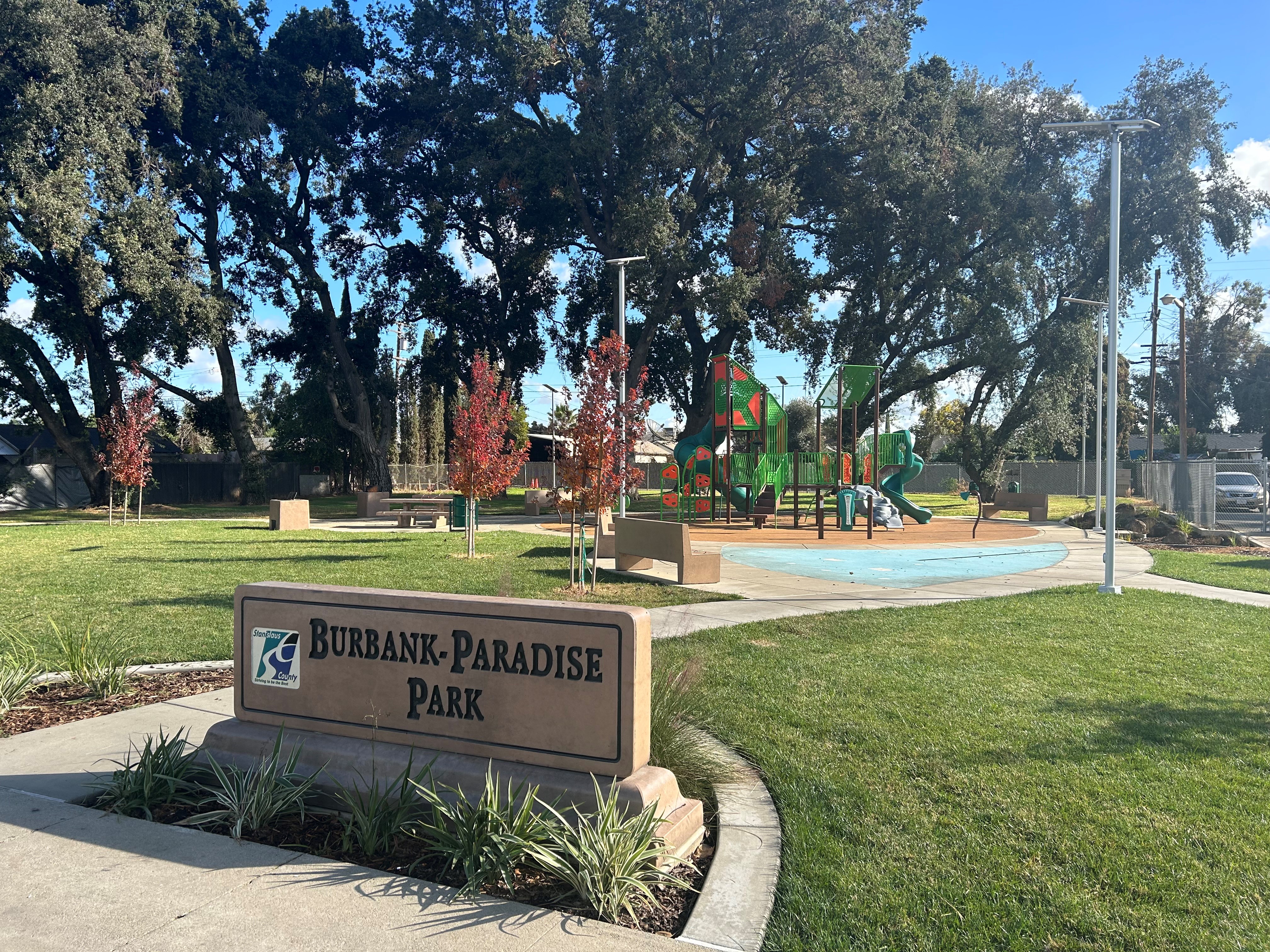
Burbank-Paradise Park
Located on the corner of Beverly Drive and Vernon Avenue in the southwestern unincorporated portion of Modesto. The park is approximately one-half acre in size and includes minimal off-street parking, playground, splash pad, walking/jogging loop, adult exercise equipment, picnic tables with BBQs and is ADA accessible.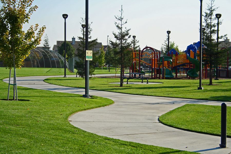
Countrystone Park
Located on Whitestone Way in the northwest area of Salida. The park is approximately four and one-half acres in size and includes picnic shelter, picnic tables, lighted basketball court, baseball/softball field, and drinking fountains. There are no restrooms at this facility.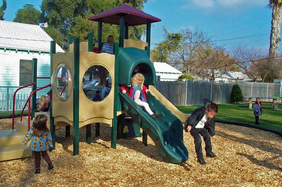
Empire Tot-Lot
Located on North G Street in Empire. The park is approximately one-quarter acre in size and includes an age appropriate play structure and picnic tables.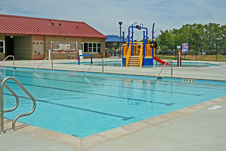
Empire Community Park and Regional Water Safety Training Center
Located on I Street and Yosemite Boulevard in Empire. The park and pool area is approximately six acres in size and includes an ADA restroom, off-street parking, picnic shelter, picnic tables, barbeque areas, play fields, playground equipment, and baseball/softball diamond. The Regional Water Safety Training Center (RWSTC) has a public swimming pool, kiddie pool with a water feature, picnic shelter, restrooms, showers and a concession stand. For information regarding pool hours and swim lessons, please contact the Police Activities League (PAL) at (209) 529-9121.
Fairview Park
Located near Modoc and Tucson Avenues on the southwestern edge of Modesto. The park is approximately four acres in size and includes a baseball/softball field, basketball court, picnic shelter, picnic tables, barbeques and informal play areas.
Fox Grove Recreation and Fishing Access
Located on the Tuolumne River at Geer Road. The river access is approximately sixty-four acres in size on one mile of river frontage with parking area with ADA spaces, restrooms, boat ramp, swimming, and picnic tables and fishing. Please refer to the Department of Fish and Wildlife for current fishing regulations. Fishing is prohibited from Nov. 1-Dec. 31 of each year due to the Salmon run.
Frank Raines Regional Park
Located approximately 18 miles west of Patterson on Del Puerto Canyon Road. This regional park offers rugged slopes of California’s Coast Range and is functionally divided into two units separated by several miles of road. The eastern-most section is the Minnier Area, encompassing over 1,000 acres of undeveloped land designed for non-motorized recreation uses (e.g. hiking and nature trails, deer and wild pig hunting during specific times of year, etc. The western-most section includes the Frank Raines day use area, providing picnic tables and barbeques, a themed playground, sports field, hiking and nature trails. Portable restrooms are available.
Hatch Park
Located at the end of Jennie Avenue on the eastern side of the community of Keyes. The park is approximately four acres in size and includes a community center, baseball/softball field, parking area and informal play area. For more information regarding the community center, please contact the Police Activities League (PAL) at (209) 529-9121.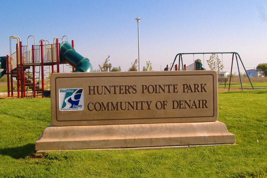
Hunters Pointe Park
Located on Riopel Avenue on the eastern side of the community of Denair. The park is approximately two and one-half acres in size and includes picnic tables, barbeques, age appropriate play areas and an informal play area. There are no restrooms at this facility.
Laird Park
Located on Grayson Road (J16) about two miles east of the community of Grayson on the San Joaquin River. The park is approximately ninety-seven acres in size and includes picnic shelters with tables and barbeques, baseball/softball field, soccer field informal play areas, river access and unpaved parking. There are new vaulated restrooms located near the playground.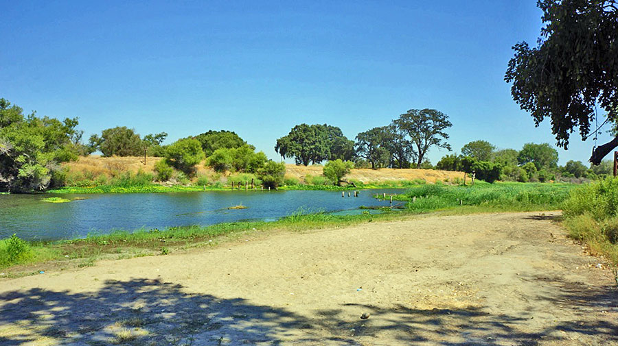
Las Palmas
Located on the San Joaquin River east of Patterson off of route J17 (Las Palmas/West Main Street) The three acre park has one mile of river frontage with parking lot, concrete boat ramp, barbeques, picnic tables and ADA access.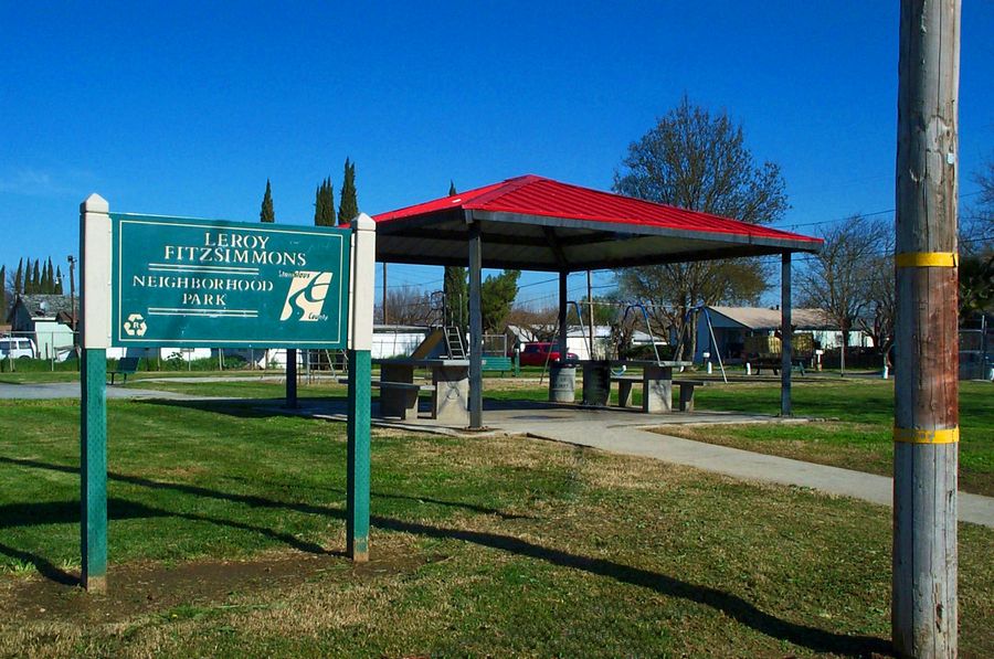
Leroy F. Fitzsimmons Memorial Park
Located on the corner of Amelia and Stakes Streets on the eastern edge of the community of Grayson. The park is approximately one-half acre in size and has a basketball court, picnic shelter, tables and aged playground equipment. There are no restrooms at this facility.
Mono Park
Located on Mono Drive between Santa Ana and Santa Rita Avenues in the unincorporated residential area known as the Airport Neighborhood in the southern portion of Modesto. The park is approximately two acres in size and includes picnic tables and informal play area. There are no restrooms at this facility.
Murphy Park
Located on Murphy and Poppy Glen Roads in the southern portion of Salida. The park is approximately five acres in size and includes a volleyball court, basketball court, shade shelter, age appropriate play equipment, informal play areas, benches and picnic tables. There are no restrooms at this facility.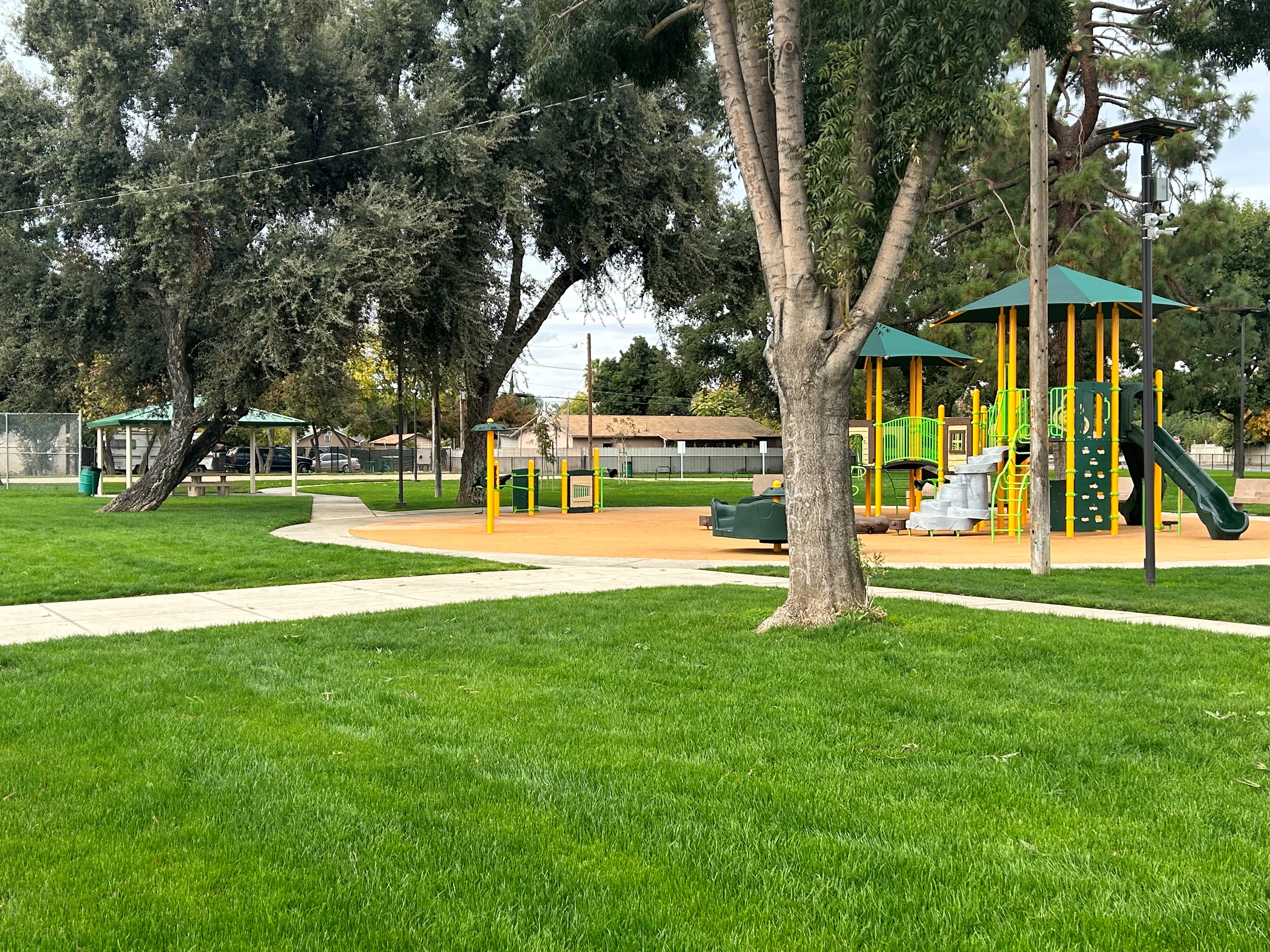
Oregon Park
Located at Oregon Drive and Empire Avenue in the unincorporated residential area known as Airport Neighborhood in the southern portion of Modesto. The park is approximately four acres in size and includes a playground equipment, splashpad, walking/jogging loop trail, adult exercise area, shade structure, Portland Loo (restroom) basketball court, picnic tables and drinking fountains.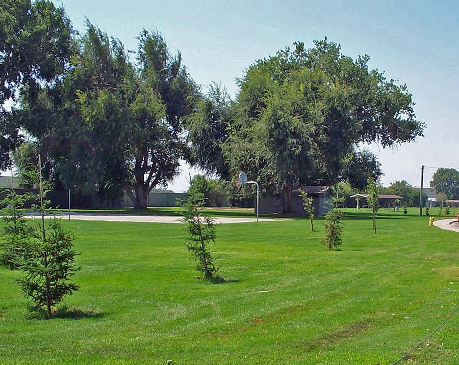
Parklawn Park
Located on Parklawn Road in the Shackleford neighborhood northwest of the City of Ceres. The park is approximately four acres in size and includes picnic shelters, picnic tables, barbeques, basketball court, ADA restroom facilities, play equipment and informal play areas.
Riverdale Park and Fishing Access
Located on the Tuolumne River off Parkdale Drive, north west of the intersection of Hatch Road and Carpenter Road. The park is approximately three acres in size and includes age appropriate play equipment, informal play areas, benches, drinking fountain, picnic shelter, picnic tables, walking trail, parking and carry-in boat path to the river. There are no restrooms at this facility.
Segesta Park
Located off Finney Road and Segesta Way in the northern portion of Salida. The park is approximately nine acres in size and includes age appropriate play equipment, basketball court, informal play areas, benches, restrooms, drinking fountain, a picnic shelter, and picnic tables.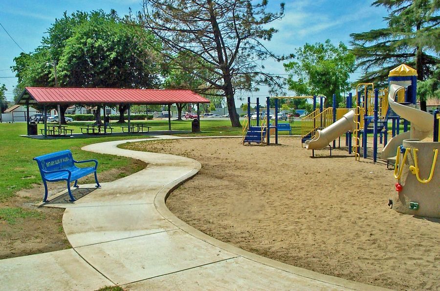
Salida Park
Located on Broadway Avenue and Magnolia Street in Salida. The park is approximately four acres in size and includes a basketball court, baseball/softball field, restrooms, concession, picnic tables, play equipment and informal play areas. The baseball field, restroom and concessions are currently maintained and operated by the Salida Little League.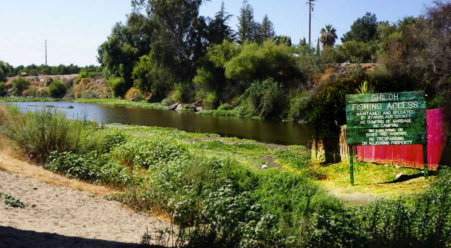
Shiloh Fishing Access
Located on Shiloh Road, providing access to the Tuolumne River near its confluence with the San Joaquin River. The access is approximately two acres in size with picnic table and swimming available.
Sterling Ranch Park
Located at McCully Avenue and Salluce Drive in the south portion of the community of Denair. The park is approximately four acres in size and includes picnic tables, age appropriate play equipment, drinking fountains and informal play areas. There are no restrooms at this facility.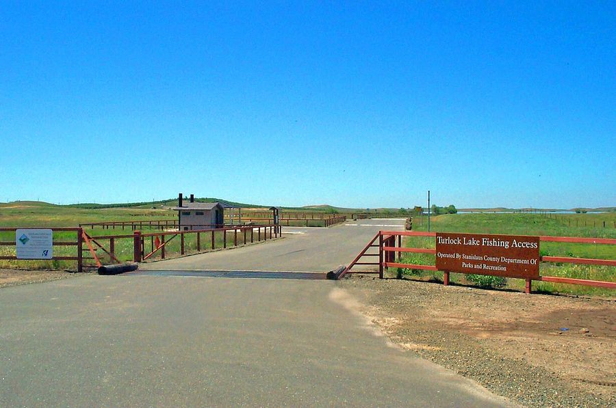
Turlock Lake Fishing Access
Located off Lake Road at the inlet of Turlock Lake State Recreation Area. The access is approximately twenty-seven acres with a parking area, ADA accessible restrooms, trails & pathways, and picnic tables. There is no boat ramp at the fishing access. A boat ramp is available at Turlock Lake State Recreation Area.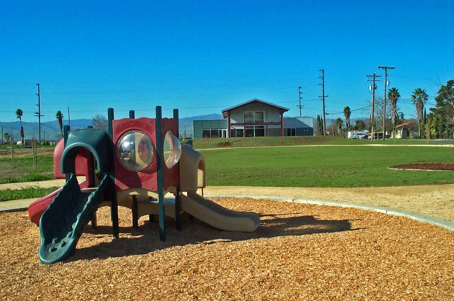
United Community Center and Park
Located on Laird and Mary Streets in the community of Grayson. The park and center comprise approximately five acres of land and include a 3,165 square-foot Community Center. The center provides a meeting space for local events, recreational programs, after-school and senior programs. The park includes age appropriate play equipment, amphitheater lawn area, barbeques, picnic tables, basketball courts and informal play areas. The United Community Center is currently operated and maintained through community efforts. Reservations is not available for this location at this time.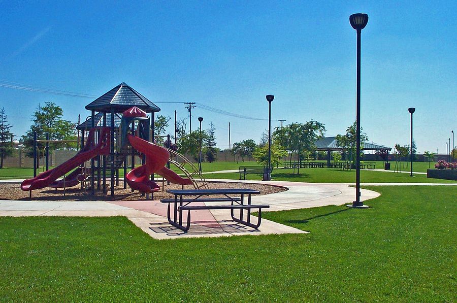
Wincanton Park
Located on Wincanton and White Willow Roads in the southeast portion of Salida. The park is approximately three acres in size and includes picnic shelter, picnic tables, drinking fountain, basketball court, age appropriate playground equipment and informal play area. There are no restrooms at this facility.
Volunteer Opportunities
Parks Events Calendar
Concession Program
Modesto Reservoir
OPEN
No Pets Or Gas Cans Allowed
Vessel inspections are mandatory. Please call or check our website for inspection hours.
ReservationsWoodward Reservoir
OPEN
Vessel inspections are mandatory. Please call or check our website for inspection hours.
ReservationsFrank Raines OHV
The Frank Raines OHV Park is OPEN
Campgrounds and Day Use remains OPEN
ReservationsFeatured Links
- Avoid food poisoning when you grill. Great video tips to keep summer fun!
- California Dept. of Fish & Game
- California Parks A - Z List
- California Parks and Recreation Society
- Campylobacter Fact Sheet
- Clean Boating Bilge Pads
- Coast Guard Auxiliary (Boating Safety)
- Free Fishing Days
- Freshwater worms often mistaken for leeches
- Invasive Species Program
- Keep Your Water Clean
- Living in Stanislaus County
- National Parks - Free Entrance Days
- National Recreation and Park Association
- Quagga Zebra Mussel Prevention
- Tuolumne River Trust
- U.S. National Park Service
